Fly over the forests of northern Guatemala and you see a green carpet that runs to the horizon. Under it are pyramids, plazas, roads and tens of thousands of house mounds. For centuries, the only way to find them was to walk the forest with a machete, one metre at a time.
That changed when archaeologists started borrowing a tool from surveyors and foresters: airborne lidar. A plane fires a laser at the ground hundreds of thousands of times a second, and a computer later peels the trees away. What is left is a map of the bare ground, and in places like the Maya lowlands, that ground turns out to be crowded with buildings.
Prefer to watch? Here’s the short version:
What lidar actually is
Lidar stands for light detection and ranging. NOAA describes it as a remote sensing method that uses light in the form of a pulsed laser to measure ranges. Think of a bat’s echolocation, with flashes of laser light in place of sound.
An airborne system has three main parts:
- A laser and scanner that sweep pulses back and forth across a strip of ground below the plane.
- A GPS receiver that knows exactly where the plane is.
- An inertial measurement unit (IMU) that knows which way the plane is tilted at every instant.
Land-mapping lidar uses near-infrared light. Bathymetric lidar uses green light, which can get through water to map riverbeds.
Time of flight: turning an echo into a dot
Each laser pulse leaves the plane, hits something and bounces back. The sensor measures how long the round trip took. Light moves at about 300,000 km per second, or roughly 30 cm per nanosecond, so the maths is simple: distance equals the speed of light times the travel time, divided by two (because the light went down and came back up).
Picture a plane flying 1 km above the forest. A pulse that reflects off the ground comes back after about 6.7 millionths of a second. A pulse that hits a treetop 20 m higher comes back a little sooner. That tiny difference is what lets lidar tell a leaf from the soil.
Combine the distance with the plane’s GPS position and the IMU’s tilt, and you know exactly where in 3D space that reflection happened. Each one becomes a single dot. Millions of dots make a point cloud, a 3D sketch of everything the laser touched.
The rates are high. The sensor used for one of the big Maya surveys described below, a RIEGL LMS-Q780, is rated for up to 400,000 pulses per second, with more than ten pulses in the air at once.
Multiple returns: why the forest does not block it
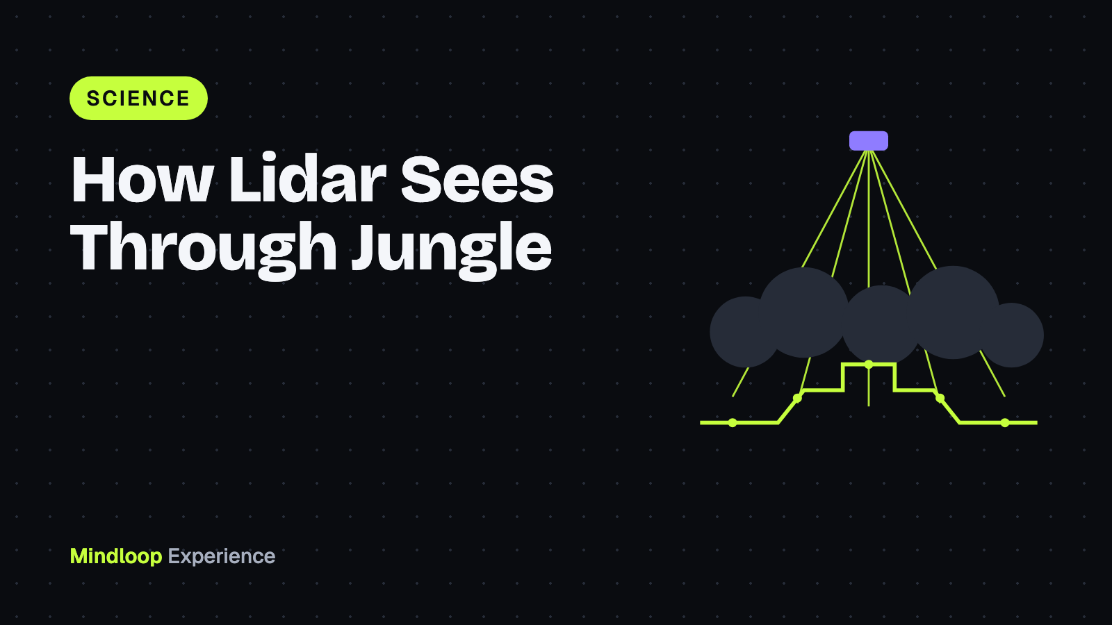
By the time a pulse reaches the canopy it has spread into a small spot, which rarely lands on one solid surface. Part of the light hits a high leaf and bounces back. Part slips through a gap and hits a branch lower down. A last part may reach the forest floor.
The sensor records each of those reflections separately. NEON, a US ecology research network, notes that a discrete-return system may record 1 to 11 or more returns from each pulse. The first return is usually the top of the canopy. The last return is often the ground.
This is what makes jungle archaeology possible: lidar slips through the gaps between leaves. Most pulses never reach the soil, but fire enough of them and plenty get through to trace the ground’s shape.
From point cloud to bare earth
To find ruins in a rainforest point cloud, you throw most of it away.
- Classify the points. Software sorts every dot into types such as vegetation, buildings or ground.
- Keep only the ground. Delete the vegetation points and the forest disappears from the data.
- Build a terrain model. Fill the gaps between ground points to make a continuous surface, called a digital terrain model (DTM) or bare-earth model, usually as a grid of elevation cells around 1 m across.
- Shade it. Light the surface from a low angle like a setting sun, or colour it by height. Small bumps and edges suddenly stand out.
Then a trained eye looks for shapes nature rarely makes: straight edges, right angles, flat platforms, long raised lines.
The classification step matters more than it sounds. In the Campeche study below, the authors found that the original terrain models had vertically truncated the larger mounds, because some real ground points on the mounds had been left unclassified. They reprocessed the raw points with settings designed for archaeology and got a 1 m resolution model with about 5 ground points per square metre.
What lidar has found under the Maya forest
PACUNAM, Guatemala
The largest early example came from the PACUNAM Lidar Initiative, which flew over the Maya Biosphere Reserve in northern Guatemala. In a paper published in Science in September 2018, a team of 18 researchers reported 61,480 ancient structures across more than 2,100 square kilometres. They ranged from single houses to palaces and pyramids, with causeways between cities, defensive earthworks and large areas of terraced farmland.
The team estimated that 7 to 11 million people lived in the wider lowlands at the height of the Late Classic period, roughly 650 to 800 CE. That pointed to a busy, engineered countryside filling the space between the big cities.
Valeriana, Campeche
In 2013 a Mexican mapping firm flew lidar over parts of Campeche and the Yucatán for a forest monitoring project, Alianza M-REDD+, led by The Nature Conservancy in Mexico. The data was released for free, and nobody had collected it to look for ruins.
In October 2024, archaeologists published a fresh look at about 122 square kilometres of it in the journal Antiquity, under the title Running out of empty space. They counted 6,764 structures, an average of 55.3 per square kilometre, in an area that had been treated as fairly empty on archaeological maps.
The headline find was an urban area they named Valeriana, after a nearby freshwater lagoon. It has two monumental hubs about 2 km apart, joined by dense settlement. The larger one has enclosed plazas linked by a causeway, temple pyramids, a ballcourt, a reservoir made by damming a stream, and a probable E-Group, a distinctive Maya plaza arrangement. Its settlement density was surpassed in the region only by Calakmul, one of the great Maya capitals. And its core sits at the edge of the dataset, so the city probably continues beyond the map.
Anyone with a laptop can look
Because so much of this data is public, non-archaeologists now search it too. In October 2026, a software developer described using AI agents to sift NASA lidar of the Maya region in Mexico. The agents flagged a hilltop with a levelled plaza and a pyramid and sent a report to Mexico’s heritage institute, INAH, which replied that no registered site existed at that spot. On November 11, 2026, he updated the post: the site had already been mapped in a 2025 study by archaeologists. A useful reminder that checking the published research is part of the job.
The limits
A shaded terrain map is not proof, and the Antiquity authors say so plainly:
- No ground check yet. They state that no field validation of their Campeche analysis had taken place. Someone still has to walk in and look.
- No dates. A mound in a terrain model has no age. Two neighbourhoods side by side might have been occupied centuries apart.
- False positives. They note they likely mistook some piles of rock for structures.
- False negatives. Small, low buildings barely rise above the ground and are seldom detectable, so counts tend to be too low.
- Processing choices. As the truncated mounds show, the filtering settings change what you see.
Physics adds limits too. Denser forest lets fewer pulses through, so the map gets blurrier. Near-infrared light does not pass through water or cloud. And flights are expensive, which is why reusing data flown for forestry and other surveys is so valuable. Public data can reveal more than its owners expected, a lesson that also applies to your own online accounts.
Lidar in your pocket and on the road
The same time-of-flight idea is now in consumer gadgets, at a much smaller scale.
- Phones and tablets. Apple added a LiDAR Scanner to the iPad Pro in March 2020, saying it measures distance to objects up to 5 metres away and works indoors and outdoors. The iPhone 12 Pro followed in October 2020, using it for faster autofocus in low light and for augmented reality.
- Cars. Many self-driving cars use lidar to build a live 3D picture of the street. Waymo says its lidar lets it measure the size and distance of objects 360 degrees around the vehicle and up to 300 metres away.
With a recent Pro iPhone you can try it: open the Measure app and point it at a person, or scan a room with a 3D scanning app. You are making a small point cloud, the same kind of data that mapped Valeriana. If you also want to know how security fixes reach the browser on that phone, our guide to Chrome zero-days covers it.
Bottom line
Airborne lidar works because a forest is full of tiny gaps. Fire enough pulses, time every echo, keep the ones that hit soil, and the trees drop out. What remains has rewritten Maya history, from the 61,480 structures of the PACUNAM survey to a city found in forestry data from Campeche. A terrain map gives archaeologists leads. The ruins still have to be checked on the ground, dated and studied by people who know what they are looking at.
Leave a Reply